
Family-Owned · Licensed Pilots · FAA Certified
Precision FromAbove
Built by a construction family, flown by licensed pilots. Atlas Aerial Service delivers the aerial data your project demands — from photography and LiDAR to grid mapping and infrastructure inspections.
Equipment & Certifications
Compliant Drones. Professional Results.
We fly equipment that meets industry compliance standards — so you can trust the data, the process, and the team behind it.
NDAA Compliant
Our drones meet NDAA compliance standards — meaning the equipment we fly is vetted, secure, and accepted on projects that require it. If your contract or client requires NDAA-compliant equipment, we've got you covered.
Blue UAS Approved
Our equipment is on the Blue UAS Cleared List — an independently vetted catalog of drone systems that have passed rigorous security and performance reviews. It's one more way we make sure our gear is up to the job.
What we do
Full-Spectrum Aerial Capabilities
Whether you need a single aerial photo or a complete LiDAR survey, we have the equipment and expertise to deliver.



Industries we serve
Built for the Field
We work alongside the professionals who build, inspect, and manage the world's most critical infrastructure.

Construction & Engineering
Site progress documentation, volumetric surveys, and as-built verification for construction teams and engineers.

Real Estate
Compelling aerial imagery and video that showcases properties, developments, and surrounding context.

Oil & Gas
Pipeline corridor surveys, facility inspections, and environmental monitoring across remote and hazardous terrain.

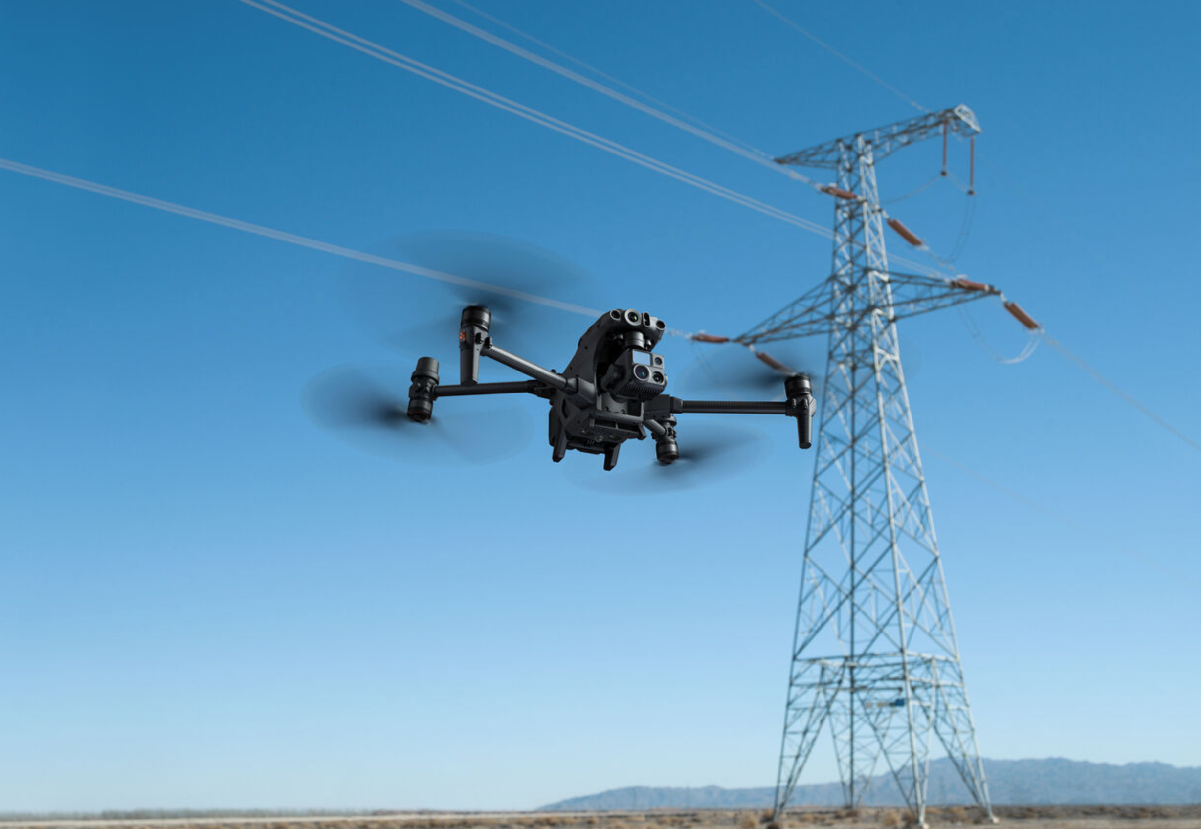
Infrastructure
Bridge, highway, and utility inspections that keep crews safe and deliver actionable data to asset managers.
Why Atlas
The Standard for Aerial Precision
Founded by a construction family who understands what's at stake on a job site. We speak your language and deliver data you can actually use.
Our team holds full FAA pilot certificates — not just Part 107 drone licenses. That means greater airspace access, higher standards, and more capability on every mission.
Enterprise-class drones equipped with LiDAR, multispectral, and high-resolution RGB sensors — matched to the right mission every time.
Ready to see your project from above?
Tell us about your project and we'll put together a custom flight plan.